
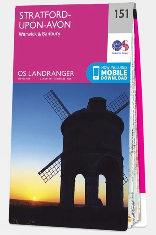
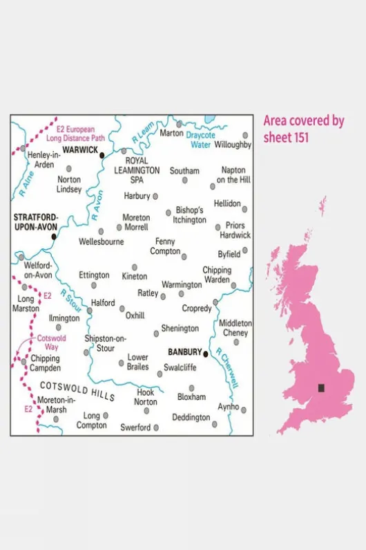
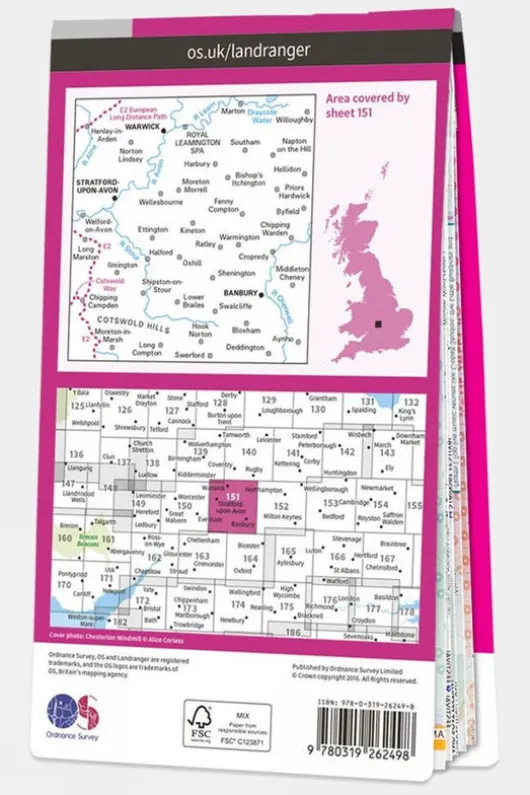
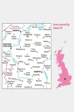
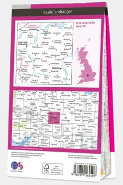
Ordnance Survey Landranger Map 151 Stratford-upon-Avon
9,67 £
The Landranger series of OS Maps is ideal for day trips and short breaks, offering detailed 1:50,000 scale coverage across a 40 x 40 km (25 x 25 miles) area of Great Britain. These easy-to-read maps are overlaid with National Grid squares, providing a unique identifying number for every location in the country. In addition to detailed geographical information, Landranger maps highlight key points of interest, including picnic spots, campsites, and tourist information. For England and Wales, Rights of Way information is also included, making these maps a great resource for exploring the outdoors.
Technical details
Ideal use:
Walkers, climbers, mountain bikers, outdoor professionals
Key features:
1:50,000 scale for detailed mapping
National Park information
Foldable for easy storage
National Grid squares for
Areas of interest
National Trails
Picnic spots
Campsites
Size and fit:
Folded dimensions: 135 x 230mm
Specification
Other features
| Color | V16 |
|---|
Be the first to review “Ordnance Survey Landranger Map 151 Stratford-upon-Avon”
Related products

Equipment & Packs



Dry Bags & Rucksacks Covers
Backpacking Packs

Equipment & Packs




Camping

Camping



Backpacking Packs



Equipment & Packs


Equipment & Packs
Reviews
There are no reviews yet.